HISTRIA
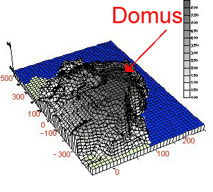
3D modelling of the level map resulted from calculations. The shape is the result of the interpolation of known (measured) points in the area covered by the monuments of the Late Roman city. (the darker area is the Acropolis).
Sout-West - North-East view.